Címke: PoI

  • Flight assistants

    Flight assistants

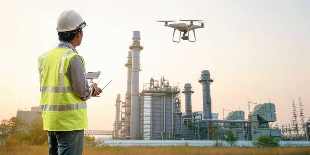
    Survey by drone

    Thanks to continuous technological advances, we can now document even very large sites quickly and accurately. Here is what the method is, how to imagine using it, and what the benefits are.

    Drone footage can do more than you think

    Following construction progress on private drone videos has become popular — but these recordings can do more. They can benefit property and industrial estate developers, and operators documenting or reviewing large areas or plants. Dimensionally accurate drone images also allow precise volume and area measurements.

    The drone captures objects from different angles using photogrammetry. Software transfers the images to a computer and converts them into 3D using mathematics and AI, so accurate measurements can be made directly on screen. Commercial drones can provide suitable quality, which helps keep costs down.

    All details remain visible, and even inexperienced users can navigate a browser-based view. Photogrammetry helps with measurements, mapping, construction documentation, maintenance records and inspections.

    CAFM tools such as timelines and information points make it easier to localise and document changes and link to other systems — so you can keep overview without always going on site.

    Drones can save significant time and cost, especially at height or in hard-to-access places such as chimneys, furnaces or wind turbines. More industries will rely on drone-based measurements and recordings in the future.
  • Bringing the digital twins to life

    Bringing the digital twins to life

    Digital twins — digital representations of physical objects — can add value to many processes in building and facility management. Professionals do not have to waste time on site visits, as they can get a fresh view of the site with a few clicks. Documentation of facilities and current conditions can be viewed instantly.

    To be accessible, digital twins need to “live”

    Today, digital twins are often still relatively static: the environment was recorded at a certain point in time. Without updates, that is not enough for smooth operation.

    For seamless use, the twin must be constantly updated with fresh data. At CAFM Solution we use methods that keep updates as simple and cost-effective as possible.

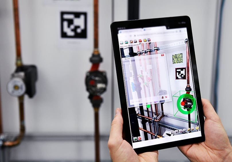
    The system relies on simple photos. Real-world changes such as a system replacement can be documented with new photos and the twin updated, reducing time and cost.

    Important data available with visual information

    Besides photorealistic representation, process data and measurement values are equally necessary. The goal is to make this data available in the right place in the twins, together with the visuals.

    We use Points of Information (PoI). These can be generated from images, have precise 3D coordinates, and remain available when images are updated.

    Via modern interfaces the system can connect to third-party systems and display measurement data, maintenance info, work orders, documents or live video. External data appears in the system but is not unnecessarily re-stored.

    The user clicks the relevant system or PoI and gets the information needed. Lengthy searches across systems become a thing of the past, and twins stay up to date.